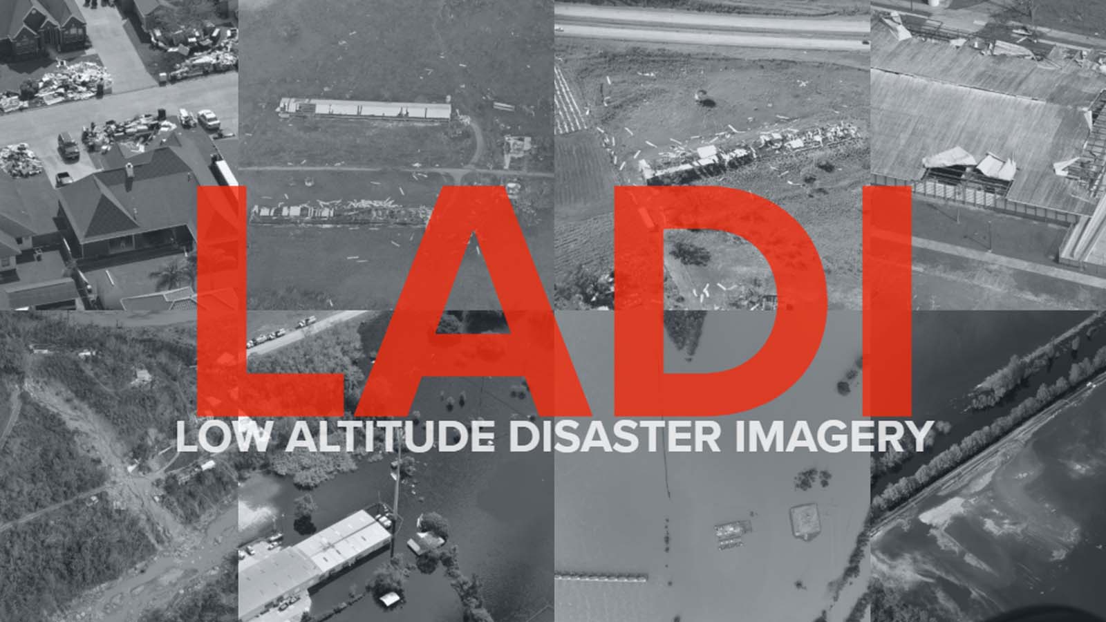
Computer vision capabilities have rapidly been advancing and are expected to become an important component to incident and disaster response. However, the majority of computer vision capabilities are not meeting public safety’s needs. For example, a commercial computer vision service mislabeled a flooded region as a “toilet.” In response, we’ve developed a dataset of public domain images collected by the Civil Air Patrol. Two key distinctions are the low altitude, oblique perspective of the imagery and disaster-related features. We provide machine annotations for all images. Human annotations, based on a hierarchical labeling scheme, are provided for a subset of images.
